Sunday, July 17, 2011

July 4~5 - In Cuba

After a good night sleep, it was interesting to wake up in Cuba on the 4th of July.  The previous day we had met one of the locals named Jorge.  A very nice family man looking to help visitors/tourists and make a few bucks on the side.  We hired him for the day to drive us around, show us the tourist spots as well as the actual Cuba.  I did manage a few minutes internet access to post that we were ok.  The internet was highly restricted and posting took a bit of effort.


Typical Cuban boat port
Jorge drove us into Havana proper, pointing out things along the way and answering our numerous questions.
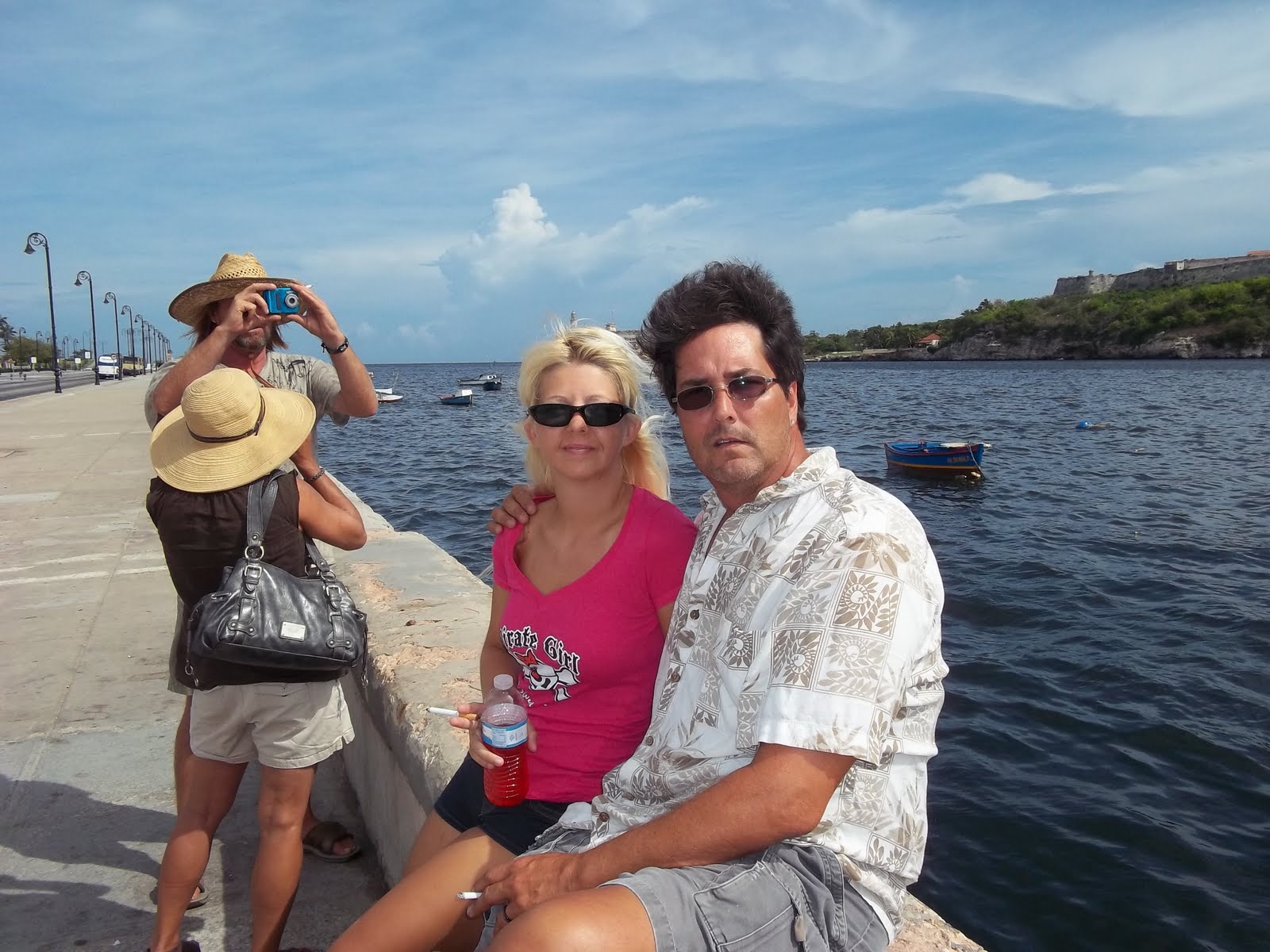
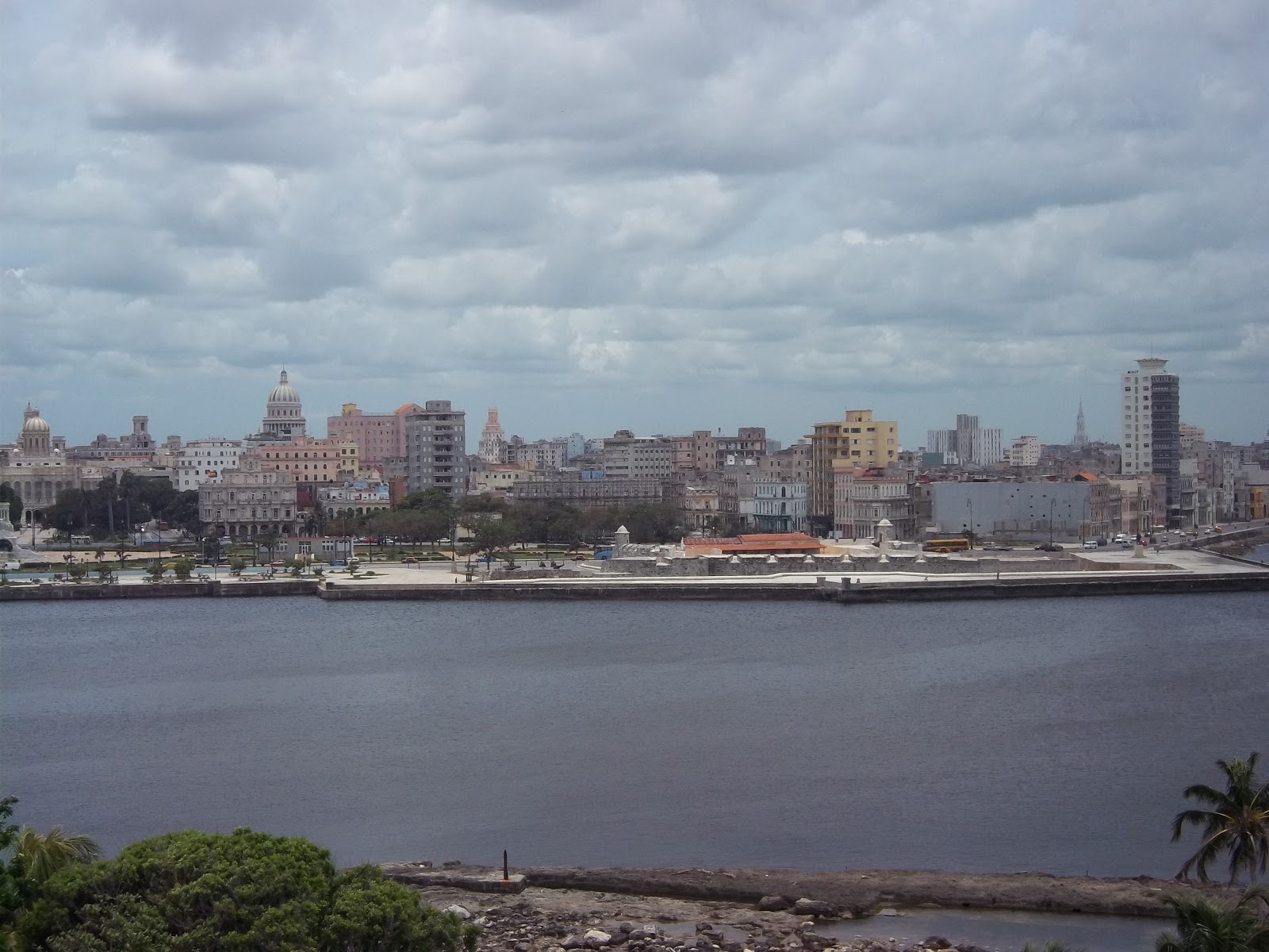
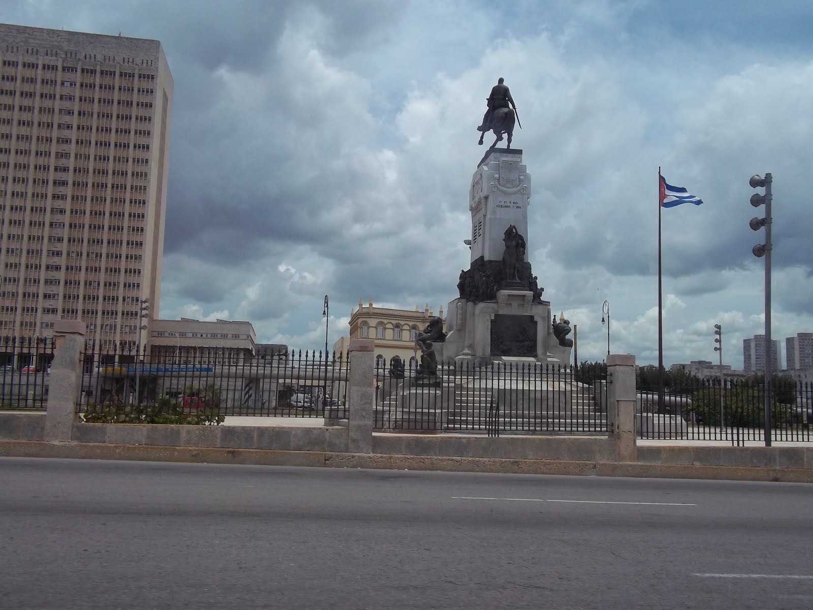
Havana was about 8 Km from the marina and an interesting drive.  They have different speed limits for different lanes but from what I could tell, speed limits were just recommendations and the horn is applied quite liberally. Enjoy the pictures we took around Havana.


We parked near the square and walked around.


Countdown until green

Remainder of Green light time left


Many of the buildings are undergoing reconstruction but according to our "guide" they only make the outside look good while the interiors of the buildings are untouched and have not been updated since the mid 50's.
Many of the cars on the road are Russian, Korean, Japanese and of course enough old mid 50's american cars to fill many museums.  Most of the american cars have been converted to diesel and look great.  The people here really take care of their cars although given the environment, many are more than half bondo.

We stopped at a local eatery for lunch and were entertained by a live band.  The food in Cuba was very good and inexpensive.  Lunch for the five of us including a pitcher of Sangria was about $30 us including tip.  Cuba has to import most of its products and this makes them expensive.  Most of the grocery store things are either local or from Mexico, including Coca Cola.  There were many "US" products available via Mexico so, for a price, you could get almost everything you wanted except boat parts.  The Cuban people can not own a large boat, the boats pictured in the Cuban port is about the biggest available.  These vessels are good for about a mile off the coast, any further and the occupants would be swimming.  In order to get out to sea from the ports, you have to pass a military post and the customs office.  Without clearance, I don't think you would make it too far.  We were also informed that all along the coast, the government employs "watchers" which are people in towers that constantly scan the water for traffic. 

After Lunch we continued our walking tour.


All the people we came across were very nice, respectable and friendly.  We were obvious tourists but Jorge kept us safe and delivered us back to the marina.  I contracted Jorge to bring me some gasoline to ensure we would have enough to make the crossing to Mexico.  He would bring it the next day.  J & J got some "fresh" lobster tails from one of the locals and J grilled them and we ate lobster and hush puppies on the boat.  

Tuesday -  J, J and I worked on Mahola Nui while Beth slept in.  We located the first of the radio issues quite quickly as the antenna cable was too close to the exhaust manifold and had burned it through.  After making a temporary repair, it still didn't test well so we continued looking and found another burned spot further back so we rerouted the wiring and made permanent repairs.  The radio was fixed and we spent the day getting ready for our departure in the morning.  We went to see the dock master to get our total for our stay so we could change USD into CUC as he could not accept american money.  We were short about $200 CUC so I took the bike out attempting to find someplace to exchange money without having to return to Havana.  It was an interesting bike ride and asking for directions along the way was a challenge.  That coupled with the late hour and the two thunderstorms I got caught in, it was an unsuccessful journey.  I figured I rode about 10 miles and by the time I actually found a money exchange place, it was after 5 and it was closed.  I returned to the marina and went to the dock master to explain our predicament and he said he would call someone and take care of us.  About 10 minutes later, Jorge shows up and offers to exchange money for us, and at the bank rate.  He drove off with $250 USD promising he would be back in about 20 minutes.  About 20 minutes later, he returned with CUC and J and I went to the dock master to settle our accounts.  We were cleared out of the country, next stop Mexico.
We all went to the nearby Chinese restaurant for dinner and enjoyed traditional Chinese fare at reasonable prices.  We returned to the boats to ready for departure in the morning.

July 2~3 Toward Mexico

We departed the Dry Tortugas about 10am, making our way out the marked channel and then turned south.  The weather was pleasant, light wind, easy seas.
Departing Fort Jefferson / Dry Tortugas

About 11:30 we saw storms building to the east and made a little more westerly course to avoid them.  We spotted 3 waterspouts from the storm, about 5 miles away from the boat.  One was a full spout from the water to the clouds.


We threaded our way between storms which gave us some rain, howling winds and rough seas but both boats and crews handled the conditions in stride.

After passing the storms, we settled in for a comfortable cruise.  We started our shift sleeping as this would be a long overnight passage.


The accepted course is to head south toward Cuba and after crossing the Gulf Stream, turn west staying close to Cuba taking advantage of the cross current to the Gulf Stream.  We sailed and motor sailed through the night. We crossed paths with numerous cargo vessels and it was good to know they could see us.  The AIS worked great.  About 25 miles north of Cuba, we were having radio issues between our two boats.  We could only communicate when the two boats were within a few hundred yards of each other. At night and approaching land, this was an issue.  Captains decision was to make port in Cuba for emergency repairs, restore communications under the international safe harbor rules.  In the dark of night, we set a course for the Port of Havana, not quite knowing what to expect.

We attempted radio contact with Port Havana numerous times but got no reply.  At 3 miles out, they contacted us.  We explained out situation and were told to proceed to Marina Hemmingway, 6 miles west.
This happened just as dawn was breaking on the sea behind us.


We made our way to Marina Hemmingway and were immediately stopped at the port entry office where Customs, Immigration, Agriculture and Sanitation visited us on the boat and began all the entry paperwork. During this time, we were not allowed off the boat.  About 2 hours later, and $150 usd in fees and "tips" we were told to go to the marina where the dock master would meet us for the remainder of the paperwork.  The good news was that they accepted the dogs paperwork and they could go ashore.

Once at the dock, we were met by numerous marina employees who guided us to our slip, helped us secure the boat, connect power and water.  Once we were settled the dock master showed up with his paperwork and the required health insurance papers.  Visitors are required to purchase their health insurance should anything happen.  The cost was quite reasonable at $2.50 US per day.  To my surprise, USD was happily accepted.  Bank Cards would not work whilst in Cuba.  We were instructed where to exchange US money for Cuban Money which was at a rate of 1 USD = .87 CUC.  After the dock master left, We all got together to discuss a plan and after visiting the ships store, we all settled in for a nap.

That evening we walked around the marina, spoke with other visitors mostly from Canada, walked toward town in the hopes of exchanging some money but as it was Sunday, most things were closed.  So we returned to the boat, relaxed and called it an early night.

July 1 Fort Jefferson - Dry Tortugas

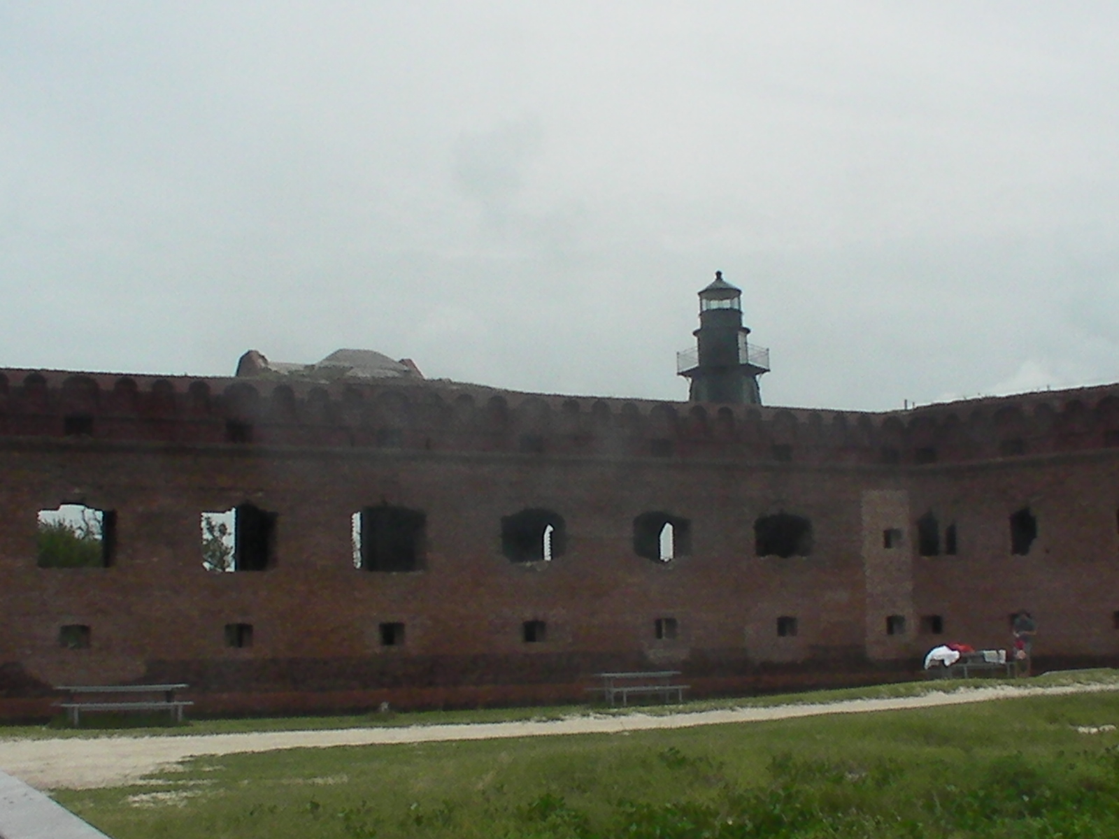
The anchor didn't drag and even with the tidal and wind shift we woke up exactly where we were supposed to be.  We planned a day to check out the fort and snorkel the area.  We took the dogs ashore but they were not allowed inside the fort, just on the grounds so we took them back to the boat and got all the snorkel gear in the dinghy and headed for shore.  We walked around the fort, learning the history of why there is a fort in the middle of nowhere and enjoying the construction of the period.  Enjoy the pictures of Fort Jefferson.
Remember, clicking on a picture gives you a bigger picture and back returns you to the blog.


Lots of really big cannons.  Capable of shooting a 300 pound cannonball 3 miles


View overlooking the moat, Key West Ferry and anchorage


Second Chance at anchor


After the fort, we were overheated and looking forward to snorkeling.

Millions of tiny fish blanketing the bottom

Numerous Barracuda and Tarpon


The snorkeling was pretty good. We saw lots of coral and fish. Beth wore her short wetsuit and started getting cold after about an hour even with the water temperature of 85 degrees F.  We headed back to the boat, showered off the salt water and took the dogs ashore.  We settled in for a peaceful night, planning on an early departure toward Mexico.

Wednesday - June 28 ~ June 30 Key West to The Dry Tortugas

First, let me apologize for the delay in updating the blog on our latest trip.  As you will read in the following blogs of the last two weeks, things have been interesting, unavailable internet, and higher priority things to take care of.
Beth and I have kept journals of some of the details and lots of pictures.

We left Key West at 8am, over to the fuel dock to top off all the tanks and pump out as there are no provisions (fuel, water, food ) until we would get to Mexico.  The sky was clear, the seas calm, it looked like a nice day to sail to Marquesas Key where we planned to spend the first night.

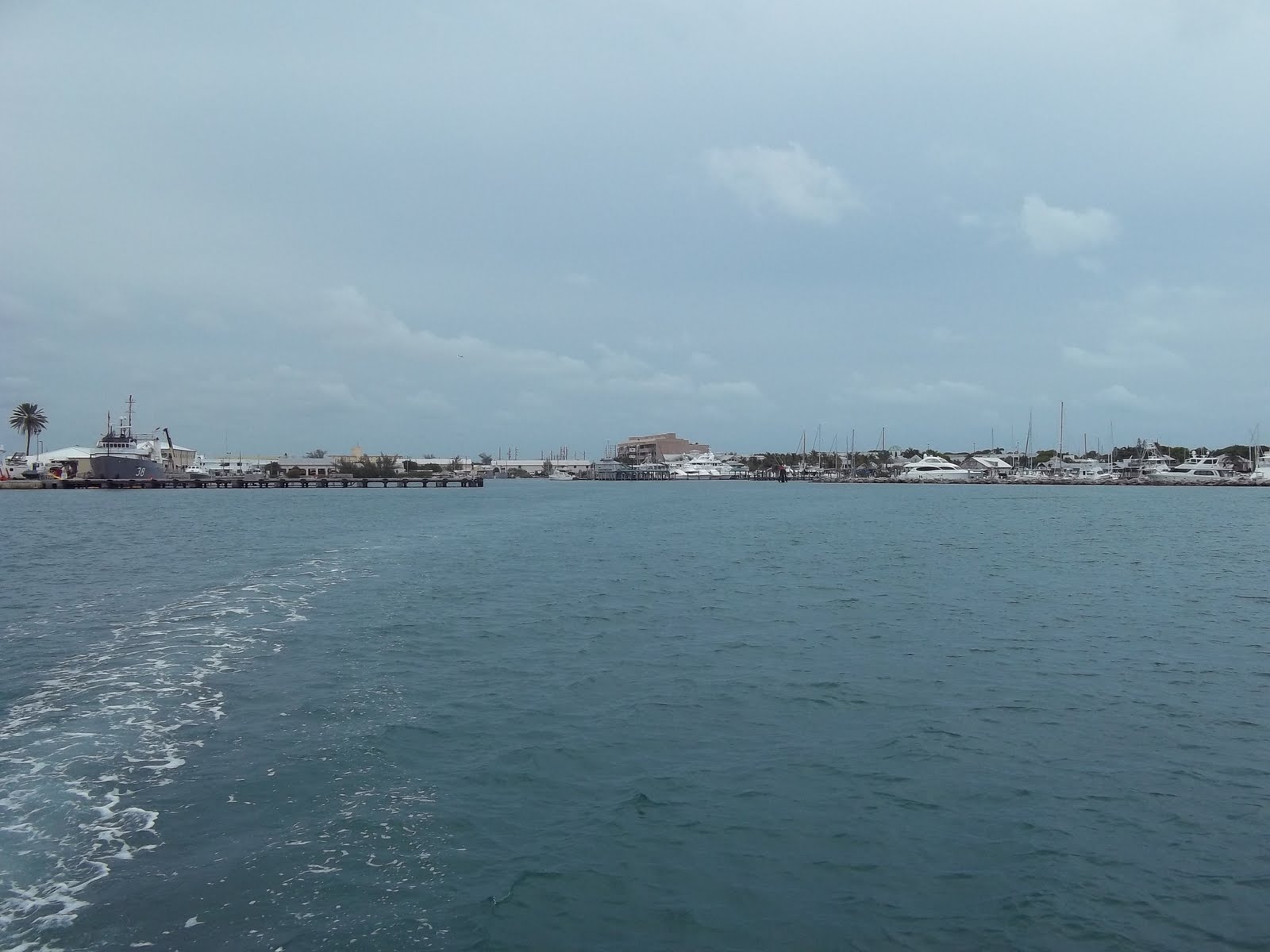
Leaving Key West, FL

We sailed toward Sand Key and then toward Marquesas Key.

Mahalo Nui under full sail leading the way
It was a pleasant day sail to Marquesas Key, arriving around 4 pm.

The interior or the key was too shallow for Mahalo Nui and wasn't within my comfort margin.  We chose to anchor on the northwest side of the key in about 15 ft of crystal clear water.

The entrance to the interior of the Key, about 1 ~ 5 ft deep
We took the dinghy out with the dogs to explore the island.  Catie and Cocoa love riding in the dinghy and love playing on the beach even more.  Catie has no problem running in the water and attempting to retrieve things floating around.  We returned to the boat, had dinner and prepared for the next day sail to The Dry Tortugas.  We woke up in the morning about 500 yards from where we had anchored.  During the night, the wind and tide had shifted and the anchor had dragged.  We motored back next to Mahalo Nui and reset the anchor.  We climbed into the dinghy and took the dogs ashore for one last visit.  While we were motoring to the island, the anchor again dragged and Second Chance was slowly drifting out to sea.  J & J saw what was happening and started toward Second Chance while we stood on the island watching it drift.  We got back in the dinghy and headed back to the boat.  We got there about the same time J &  J reached it so it was a non issue.  We raised the anchor and hoisted the sails and we set off toward the Dry Tortugas.

Approaching the Dry Tortugas National Park, Ft. Jefferson
We saw the fort from about 7 miles out and as we got closer it began to take shape and is really huge.  The approach is well marked and we made it to the anchorage without issue. 


We arrived about 4 pm and there were numerous boats from all over in the anchorage so we rafted together initially to allow me to change the primary anchor to one that would hold the boat better given the bottom surface.  While rafted, we took the dinghy and dogs ashore to check in.  The fee was $5.00 per person for a week which gave us dinghy access to the park which is the fort and facilities.

After changing the anchor we split from Mahalo Nui and chose and anchor spot where we should be set and IF we dragged anchor, we wouldn't drift into any other boats.  While we had dinner, we kept a close eye on our position, set the anchor drag alarm, and had a good nights sleep.

Saturday, July 9, 2011

Saturday 7/9

Just a quick note to let you all know we arrived Isla Majures Mexico safely after a LONG trip. 


Details to come once we get settled and organized but we are all ok.

John/Beth
J & J

Monday, July 4, 2011

Safe and Sound. July 4, 2011

Hello all.  We are all safe and sound and exploring our current location.  We are taking many pictures and have stories to tell.  Our passage was good, a few storms, saw a few waterspouts in the distance but have arrived safely at out midpoint.  We are currently planning a mid week departure so we will be in Mexico by the weekend. 

Our internet access here is very limited and I will post the full details from Mexico.

Happy Fourth of July !!!

John & Beth

Sunday, July 3, 2011

Check-in/OK message from Second Chance SPOT Messenger

Second Chance
Latitude:23.32023
Longitude:-82.41574
GPS location Date/Time:07/03/2011 02:58:16 EDT

Message:Living the dream !
All is well.

Click the link below to see where I am located.
http://fms.ws/5Fe9N/23.32023N/82.41574W

If the above link does not work, try this link:
http://maps.google.com/maps?f=q&hl=en&geocode=&q=23.32023,-82.41574&ll=23.32023,-82.41574&ie=UTF8&z=12&om=1

Second Chance

You have received this message because Second Chance has added you to their SPOT contact list.

Every day is an Adventure. Share Yours.
http://www.findmespot.com

Saturday, July 2, 2011

Check-in/OK message from Second Chance SPOT Messenger

Second Chance
Latitude:24.62475
Longitude:-82.87131
GPS location Date/Time:07/02/2011 08:33:48 EDT

Message:Living the dream !
All is well.

Click the link below to see where I am located.
http://fms.ws/5F2Bf/24.62475N/82.87131W

If the above link does not work, try this link:
http://maps.google.com/maps?f=q&hl=en&geocode=&q=24.62475,-82.87131&ll=24.62475,-82.87131&ie=UTF8&z=12&om=1

Second Chance

You have received this message because Second Chance has added you to their SPOT contact list.

Every day is an Adventure. Share Yours.
http://www.findmespot.com

Friday, July 1, 2011

Check-in/OK message from Second Chance SPOT Messenger

Second Chance
Latitude:24.62478
Longitude:-82.87128
GPS location Date/Time:07/01/2011 13:12:09 EDT

Message:Living the dream !
All is well.

Click the link below to see where I am located.
http://fms.ws/5EXKf/24.62478N/82.87128W

If the above link does not work, try this link:
http://maps.google.com/maps?f=q&hl=en&geocode=&q=24.62478,-82.87128&ll=24.62478,-82.87128&ie=UTF8&z=12&om=1

Second Chance

You have received this message because Second Chance has added you to their SPOT contact list.

Every day is an Adventure. Share Yours.
http://www.findmespot.com